Land Valuation in the Netherlands: Use, Rights and Potential
Learn how agricultural, development and mixed-use land is valued, which rights and planning evidence matter and why a hectare average cannot value an individual plot.
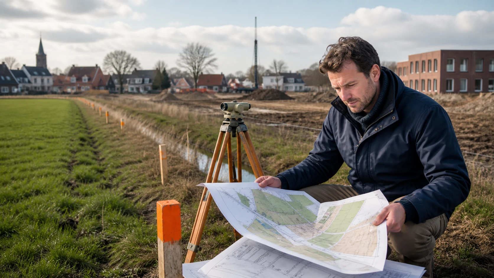
TL;DR: separate current use from potential
Land value starts with what the parcel may legally and physically do today. Define the purpose, value basis, date and recipient. Then check current use, ownership, leasehold, access, utilities, soil, water, environmental restrictions, planning rules, comparable parcels, costs and timing. If this is your situation, use the steps below to decide which facts and questions matter for you.
If you are valuing agricultural land, keep local residential evidence such as property valuation in Beste Taxateur Innoord, Amsterdam separate from the parcel’s use, rights and farm-income evidence.
When a building is part of the asset, compare it with commercial property valuation or the relevant property-type guide.
Agricultural, development and mixed-use land cannot be priced from one general hectare figure. The NRVT’s land-valuation standards stresses that special assumptions must be realistic, relevant, valid and explained.
The Kadaster Q1 2026 agricultural land report, published on 1 May 2026, reported an average Dutch agricultural land price of €101,700 per hectare. That was 2.9% below Q4 2025 at €104,700 and 6.6% above the 2025 average of €95,400. These figures provide dated agricultural-market context. They do not value construction land, mixed-use land or one specific parcel because use, location, rights, soil, access and transaction evidence differ.
Prepare the assignment in this order:
- Identify current use and the purpose of the valuation.
- Verify title, leasehold, access, planning and environmental rights.
- Separate realistic potential from an unconfirmed wish.
- Assemble comparable land evidence and estimate costs and timing.
- Review assumptions, probability, method and uncertainty in the report.
Does this situation match your question?
If you are a landowner, farmer, buyer, developer, lender, business owner or adviser dealing with agricultural, rural, development-edge or mixed-use land in the Netherlands.
If you are valuing an industrial building, define industrial property valuation around its use, condition and market evidence.
It does not establish a value for a particular plot. Planning, soil, access, utilities, water, environmental and legal questions may require separate specialists and current local checks.
If you are valuing a commercial property, define commercial property valuation around its use, income and physical evidence.
Context: land value is tied to rights and timing
A parcel’s location can create potential, yet potential is not a current right. A change to the environmental plan, a permit, an access agreement, infrastructure or a development agreement can take time, cost money and fail. The valuation needs to make that pathway visible.
If you are valuing an industrial building, define industrial property valuation around its use, condition and market evidence.
The Rijksoverheid information about the Omgevingsloket points users toward local rules and permit information. A search result or conversation about future use is not the same as an approved permission. Confirm the current environmental plan, relevant activity rules and required approvals.
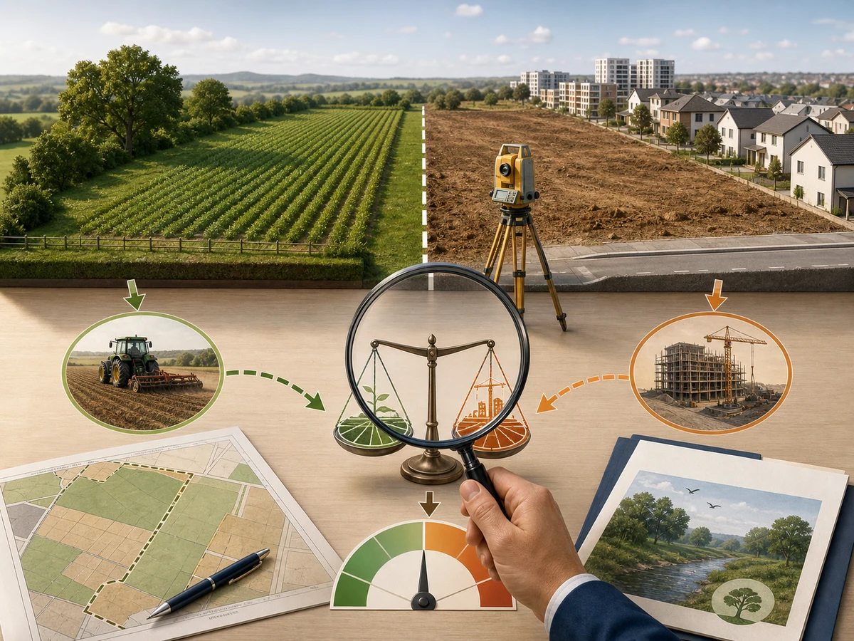
The body visual shows agricultural use, a possible development edge, survey work and a valuation scale. It is designed to keep current use and potential as separate questions.
If you are valuing a commercial property, define commercial property valuation around its use, income and physical evidence.
Land valuation evidence to assemble
- Assignment
- Record purpose, value basis, valuation date, recipient, assumptions and the required report format.
- Title and rights
- Provide ownership, leasehold, easements, access, restrictions, tenancy, public rights and any agreement that affects use.
- Current use
- Describe agriculture, storage, recreation, nature, business or another actual use and the income or obligations connected to it.
- Planning and environment
- Check the environmental plan, permits, activity rules, soil, water, nature, contamination, flood and infrastructure constraints.
- Physical evidence
- Collect survey, boundaries, dimensions, topography, drainage, access, utilities, buildings and improvement information.
- Market and costs
- Provide relevant comparable parcels and identify transaction costs, preparation, infrastructure, delay and financing assumptions.
Constraints that can change land value
Use is the first filter
Agricultural use, nature use, recreation, storage and construction have different evidence and markets. Do not move from a location description to a development value without verifying the permitted use.
If leasehold affects your property, include leasehold property valuation in the brief before the valuation starts.
Rights can be as important as area
Access, water, drainage, leasehold, easements, tenancy, rights of way and utility connections can determine whether a use is practical. A large inaccessible parcel can be less useful than a smaller connected one.
If leasehold affects your property, include leasehold property valuation in the brief before the valuation starts.
Potential has probability, cost and time
If future development is relevant, state the planning step, probability, infrastructure, preparation cost, holding period, financing and exit assumptions. A report should not treat an unapproved possibility as a certain right.
Agricultural benchmarks have a narrow scope
The Kadaster figure is a national average for agricultural land in one quarter. It cannot be applied to every farm parcel, let alone a development plot. Use it as context and compare it with local, property-specific evidence.
The land valuation process in six steps
1. Define the decision
State whether the report supports a sale, purchase, financing, inheritance, accounting, lease, compensation or development decision. Name value basis, date and recipient.
2. Confirm current legal and physical facts
Check title, boundaries, use, access, leasehold, easements, soil, water, utilities and buildings. Mark any fact that still needs official confirmation.
3. Check planning and permissions
Use the current local information and the Omgevingsloket to identify relevant rules and permits. Separate existing permission from a potential future change.
4. Build the market evidence
Compare parcels with similar use, rights, location, size, access and date. Explain adjustments rather than averaging unlike land.
5. Model cost and timing assumptions
Include preparation, infrastructure, remediation, holding, financing, taxes where relevant and delay. State which assumptions are certain, estimated or conditional.
6. Review the report against the brief
Check use, rights, boundaries, value basis, date, comparables, assumptions, costs, probability and uncertainty.
Four land situations
Agricultural parcel
Use, soil quality, drainage, access, tenancy, water and local comparable transactions can matter. The Kadaster average gives context, not a parcel value.
Development-edge parcel
The location may invite a future-use discussion. Verify planning, probability, costs, infrastructure, time and the consequence if permission is not granted.
Mixed-use land with a building
Separate land use, building condition, income and rights.
Leasehold or restricted land
Canon, term, renewal, restrictions and transfer rights can alter market evidence.
Mistakes that overstate land value
Applying a national hectare average to one plot
Why it happens: the figure is easy to quote. Fix: use it only as dated context and add local, use-specific comparables.
Treating a planning idea as a building right
Why it happens: a potential use sounds like a future outcome. Fix: verify the environmental plan, permit steps, probability, costs and timing.
Ignoring access and utilities
Why it happens: maps show the parcel clearly while connections are less visible. Fix: confirm rights of way, roads, drainage, power, water and connection costs.
Mixing land and building values
Why it happens: an attractive building draws attention away from the plot rights. Fix: split land, building, use, income and legal assumptions in the brief.
Aftercare: update rights and assumptions
Save the report with title, leasehold, planning, survey, soil, water, access, permit and market evidence used in the assignment. Revisit it after a plan change, permit decision, new access agreement, lease event, remediation result or infrastructure change.
When a new purpose or value date arises, ask whether a new assignment is needed. Land evidence can change without a visible change to the field because a right, rule, agreement or probability has changed.
Frequently asked questions
What is agricultural land in the Netherlands worth per hectare?
Kadaster reported a national average of €101,700 per hectare for agricultural land in Q1 2026. It was 2.9% below Q4 2025 and 6.6% above the 2025 average. The figure is market context, not a value for a particular parcel or another land use.
Can agricultural land be valued as building land?
Only when the relevant use and planning pathway support that conclusion. A location or an idea for development does not create a current building right. Verify local rules, permissions, costs, timing and probability.
Which documents does a land valuer need?
Prepare title, boundaries, leasehold, access, easements, tenancy, use, planning, permits, survey, soil, water, utilities, buildings and comparable transactions. The purpose determines the exact file.
Does land value include a building on the plot?
It can, depending on the assignment. Make the treatment of land, buildings, fixtures, income and rights explicit so unlike components are not merged.
Can an online map prove development potential?
No. Maps can help with orientation. Official local rules, permits, access, infrastructure and specialist checks determine whether a future use is realistic.
Land valuation checklist
- Purpose, value basis, date and recipient are written down.
- Title, boundaries, leasehold, access, easements and tenancy are checked.
- Current use is described separately from future potential.
- Environmental plan, permits, soil, water and infrastructure constraints are reviewed.
- Survey, dimensions, topography, drainage, utilities and buildings are documented.
- Comparable parcels match use, rights, location, size and date.
- Costs, timing, probability and uncertainty are stated for potential use.
Beste Taxateur helps you organise the questions and evidence around land valuation Netherlands, so you can compare providers and prepare the next step. The relevant lender, adviser, municipality or other party decides which report or evidence it accepts.
Ask a question about land valuation Netherlands