Agricultural Land Valuation in the Netherlands: Use, Rights and Evidence
Learn how use, soil, access, rights, planning and market evidence shape an agricultural land valuation in the Netherlands.
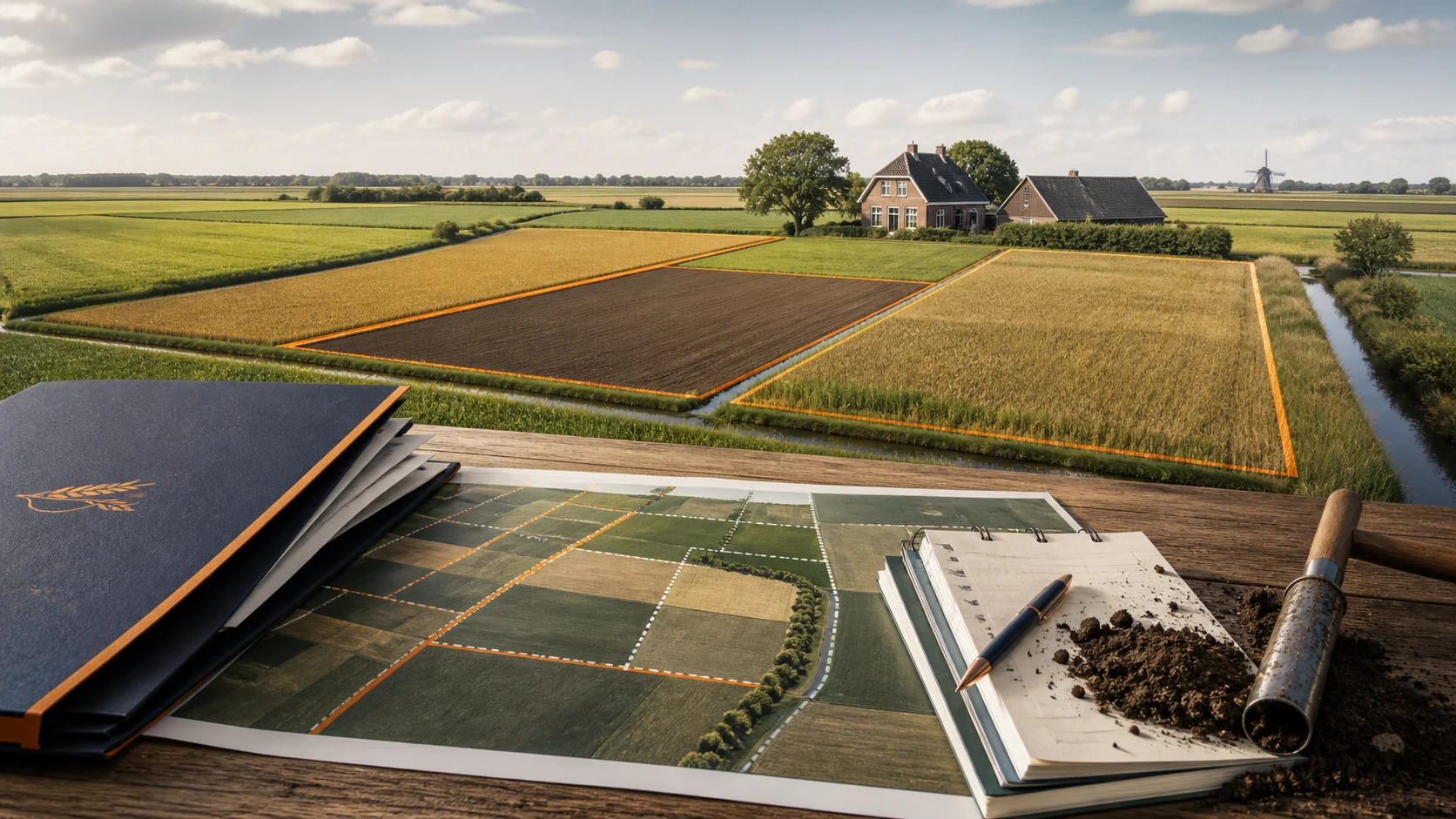
TL;DR: value the plot, not the average
An agricultural land valuation needs more than a national hectare figure. Define the purpose, value basis, valuation date and recipient. Then assemble evidence about current use, soil, drainage, access, water, parcel shape, tenancy, ownership, rights, planning, restrictions and dated local transactions. If this is your situation, use the steps below to decide which facts and questions matter for you.
If you are valuing agricultural land, keep local residential evidence such as property valuation in Achtse Barrier Hoeven, Eindhoven separate from the parcel’s use, rights and farm-income evidence.
If you are valuing land, connect land valuation in the Netherlands with use, rights, soil, access and local transactions.
If you are valuing land, connect land valuation in the Netherlands with use, rights, soil, access and local transactions.
The NRVT’s land-valuation standards treats special assumptions, evidence, methods, reporting and uncertainty as part of the assignment. A plot with possible building use needs a verified planning basis, not a hopeful description.
The Kadaster review published in January 2026 reported an average agricultural land price of €95,400 per hectare in 2025, more than 60 percent above 2016, with an average annual increase of 5.5 percent over that period. The figure gives national context. It does not value one parcel, building land or mixed-use land.
Prepare the file in this order:
- Define the decision, value basis, date and recipient.
- Verify parcel identity, use, rights, tenancy, access and planning.
- Record soil, water, drainage, shape, area and practical use.
- Compare dated local evidence with similar use and rights.
- Review assumptions, method and uncertainty against the brief.
Does this situation match your question?
If you are a landowner, farmer, buyer, lender, estate manager, investor or adviser dealing with agricultural land in the Netherlands.
If you are valuing a commercial property, define commercial property valuation around its use, income and physical evidence.
It does not determine planning permission or the value of a named plot. Soil, water, environment, tenancy and planning matters may need specialist evidence alongside a valuation.
Context: a hectare average is not a plot value
The Kadaster figure is useful as a benchmark because it states a period, a land type and a national average. The comparison stops there. A plot’s value can differ because of soil quality, drainage, parcel shape, access, water rights, tenancy, leasehold, restrictions, location, neighbouring use and planning status.
If leasehold affects your property, include leasehold property valuation in the brief before the valuation starts.
The implication is practical: use the average to ask better questions, not to multiply hectares by a headline price. The valuation file should show why each market reference fits the plot and how differences are handled.
The body visual combines a plot map, soil profile and benchmark chart. Its labels and figures are illustrative and are not a survey or a price opinion.
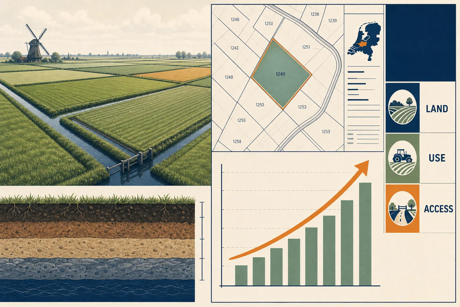
Agricultural land valuation evidence to assemble
- Assignment
- Record purpose, value basis, valuation date, recipient, format and any special assumption.
- Parcel identity
- Provide cadastral details, area, boundaries, parcel shape, ownership, leasehold and shared rights.
- Use and soil
- Describe crops or grassland, soil, drainage, water, yield evidence, access, slope and practical limitations.
- Tenancy and rights
- Share tenancy, lease, easements, water rights, access rights, restrictions and obligations attached to the land.
- Planning and environment
- Collect planning information, protected status, environmental restrictions, permits and any proposed change of use.
- Market evidence
- Ask for dated local transactions with similar use, soil, access, rights, size and tenancy, then record adjustments.
Constraints that can change the result
National averages hide local differences
The Kadaster benchmark describes a defined land type and period. It does not capture every soil, region, parcel shape or right. Use it as context and test it against local evidence.
Agricultural use is not building use
A possible future use may have no current value when planning, permission, timing or costs are uncertain. Verify the planning position and state the assumption.
Soil and water affect practical use
Drainage, water access, flood exposure, soil quality and parcel shape can affect farming and the buyer pool. Obtain evidence instead of relying on a postcode or land label.
Tenancy changes control and income
Lease terms, termination rights, rent and obligations can affect both current income and marketability. Read rights with the physical parcel.
Access is part of the land case
A plot may be productive but harder to use when access is narrow, shared, seasonal or restricted. Verify the legal and physical access.
The agricultural land valuation process in six steps
1. Define the decision
State whether the report is for sale, purchase, finance, inheritance, taxation, lease or a dispute. Name the value basis, date and recipient.
2. Verify the parcel and rights
Check cadastral identity, boundaries, ownership, leasehold, tenancy, easements, access, water rights and restrictions.
3. Describe use and condition
Record soil, drainage, water, crops or grassland, parcel shape, area, access, slope and evidence of practical use.
4. Check planning and environment
Review planning information, protected status, environmental conditions, permits and any proposed change. Mark uncertainty.
5. Compare like with like
Review date, region, land type, use, soil, size, rights, tenancy and access for each comparable. State the adjustment and its basis.
6. Review the report against the brief
Check parcel identity, area, use, rights, evidence, assumptions, method, date, value basis and uncertainty.
Four agricultural-land situations
Working farmland
Soil, drainage, access, parcel shape, water and tenancy may shape the value. Match the evidence to the actual agricultural use.
Land with a possible building use
Treat the possible use as an assumption until planning information, permission, timing, costs and restrictions support it.
Mixed-use parcel
Separate agricultural, residential, commercial or nature uses and explain the rights and evidence for each.
Leased agricultural land
Read rent, term, termination, obligations and access with soil and use. A lease can support income while limiting control or change.
Mistakes that weaken a land valuation
Multiplying hectares by a national average
Why it happens: one figure is easy to communicate. Fix: use a dated benchmark only as context and add plot-level evidence.
Treating planning potential as current value
Why it happens: a future idea sounds like an asset today. Fix: verify planning, permission, costs, timing and restrictions.
Ignoring tenancy and access
Why it happens: the map shows the plot but not the rights. Fix: collect contracts, easements, access conditions and obligations.
Calling all land agricultural
Why it happens: the word is used loosely. Fix: describe actual use, soil, water, planning status and restrictions.
Aftercare: keep the file current
Keep the report with cadastral information, leases, tenancy, soil and drainage records, water information, planning documents, environmental reports and market evidence. Revisit it when use, tenancy, access, planning or drainage changes.
If the next decision has another purpose or valuation date, ask whether a new assignment is needed. Land value can move when rights or permitted use change even when the boundary stays the same.
Frequently asked questions
Can I use the national agricultural land average for my plot?
Use it as dated context, not as the value of one plot. Soil, use, access, rights, tenancy, region and planning can move the result away from the average.
Is agricultural land with a possible building use worth more?
Not automatically. The planning basis, permission, timing, costs, restrictions and probability of the use need evidence.
Does tenancy affect land value?
It can. Term, rent, termination rights, obligations and access may affect income, control and the buyer pool.
What documents should I send first?
Send the purpose, parcel details, ownership, lease or tenancy, use, soil and drainage information, access rights, planning information and report requirements.
Does a land valuation include soil testing?
Not always. The assignment should say what has been inspected and which soil, water or environmental evidence still needs specialist work.
Agricultural land valuation checklist
- Purpose, value basis, valuation date, recipient and special assumptions are written down.
- Parcel identity, area, boundaries, ownership, leasehold and shared rights are checked.
- Use, soil, drainage, water, shape, access and practical limitations are documented.
- Tenancy, lease, easements, water rights and obligations are provided.
- Planning, environmental status, restrictions and proposed changes are reviewed.
- Market evidence is dated and comparable in use, soil, size, rights, region and access.
- National benchmarks are labelled as context rather than a value for the plot.
Beste Taxateur helps you organise the questions and evidence around agricultural land valuation, so you can compare providers and prepare the next step. The relevant lender, adviser, municipality or other party decides which report or evidence it accepts.
Ask a question about agricultural land valuation